top of page
.png)
Geophysical Surveys
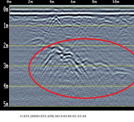
Geophysical surveys can provide a non-invasive and cost effective solution to locating and defining sub-surface features or anomalies.
The services we offer include:
-
Service utility locating.
-
Mine shaft locating.
-
Determining depth to bedrock.
-
Determining rock seismic velocities and rippability.
-
Void detection.
-
Peat thickness surveys.
-
Unexploded ordnance (UXO) surveys.
-
Landfill delineation.
- Fault mapping.
- Identifying relict foundations.
- Locating groundwater table.
- Locating unmarked graves.
- Concrete thickness and reinforcement identification.
The geophysical methods we use include:
-
Ground Penetrating Radar (GPR).
-
Seismic Refraction.
-
Multi-channel Analysis of Surface Waves (MASW)
-
Continuous Surface Wave System (CSWS).
-
Electrical Resistivity Tomography (ERT).
-
Frequency-Domain Electromagnetic (EM) Induction.
-
Magnetometer Surveys.
bottom of page


